The integration of Artificial Intelligence with Geographic Information Systems (GIS) often called GeoAI has moved from a "feature" to the core "engine" of spatial analysis
Turn Your Data into a Competitive Edge.
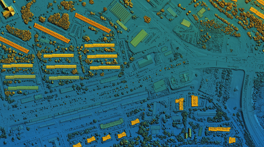
Predictive Spatial Modeling
Object Detection & Tracking
Pre-trained Intelligence
Specialized & Environmental APIs
Schedule a GIS Consultation with Relikor
When contacting Relikor, mention these specific areas to ensure you are connected with the right technical team:
AI + GIS Fusion: Ask how we integrate your “AI-enabled” development expertise with geospatial layers.
Integrating Enterprise Asset Management Systems (EAMS) (like SAP EAM, IBM Maximo) with GIS, BIM, CAD, and IoT/SCADA
API Connectivity: Inquire about connecting GIS data to your existing E-commerce App, Tracking Solutions, ERP or CRM (one of their core strengths).
Connect us for Google Maps Platform APIs and SDKs that allow developers to integrate maps, location search, and routing into your applications